
Trace a Vineland Street
A street-by-street search in Vineland starts with a physical parcel, not a broad name list. The city GIS tools, tax maps, and assessment records attach a street address to block and lot identifiers. Those identifiers make it safer to compare a current assessment entry with an older deed or permit. A recorded owner is not automatically an occupant, and a tax mailing address can be elsewhere. The practical result is a dated parcel inventory, not a claim that every person connected with a street lives there now.
- Enter the normalized address in the New Jersey Property Explorer or begin with the Vineland assessor. Save the street form, block, lot, qualifier if shown, and any deed reference.
- Open the Vineland Public GIS Viewer. Click the subject parcel and nearby parcels on both sides of the street, recording each block and lot rather than relying on one map label.
- Compare the current owner field and mailing address with the situs address. Keep those fields separate in the research note because correspondence can go to another location.
- Use the Cumberland County Clerk land-record routes to find the latest deed. Note the grantor, grantee, recording date, book and page, then use the earlier party name to move back.
- For a historic household question, consult a reverse-address directory through the library or historical collections. The individual voter tool is for a named registration check, not a public street roster.
Note: Keep the search date with every Vineland parcel result because assessment, mapping, and deed layers update on different schedules.
Vineland Street Directory Parcel Fields
The Vineland Tax Assessor handles assessment, deed-transfer, mailing-address, exemption, and abatement work. The local page does not expose a normal public query form, so the sensible routes are an office inquiry, annual tax-list material, the state explorer, the GIS viewer, and tax maps. NJGIN may redact covered owner names under Daniel’s Law. A redacted field is a protection, not proof that the parcel has no owner.
| Assessor or GIS field | How it helps a Vineland address search |
|---|---|
| Owner name | A local assessment field that may be redacted in NJGIN-hosted material for protected people. |
| Situs and mailing address | The situs identifies the parcel; the mailing field shows where tax correspondence is sent when available. |
| Block, lot, and qualifier | The stable bridge among tax maps, GIS, deeds, permits, and tax appeals. |
| ZIP and municipality | Useful for filtering and checking location, while keeping postal geography separate from parcel jurisdiction. |
| Value, class, year, and zoning | Property context only. These fields do not identify every person associated with an address. |
| Deed book, page, and sale price | Useful trail markers that should be verified in the County Clerk index. |
The state entry point for annual parcel and tax data is shown in the Property Explorer capture below.
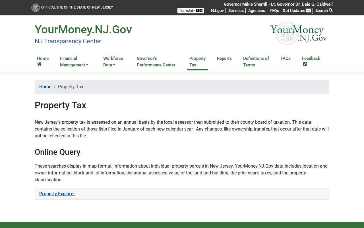
Use the return as a starting record, then preserve the block and lot before comparing it against the city map or the Clerk's deed index.
Note: A redacted Vineland owner field must be treated as a privacy limit, not as evidence that the underlying parcel data is wrong.
Walk Vineland Streets in GIS
The city’s GIS map page links the public viewer, tax maps, zoning map, and street map. Its parcel layer can expose a parcel address, street, municipality, ZIP, block, lot, owner, deed book and page, sale price, construction year, values, and zoning when fields are available. Clicking adjacent polygons gives a methodical view of a block. The service also supports spatial queries and a distance query, though the public viewer’s exact live control label was not captured in the research.
Parcel geometry is not a survey or a legal boundary. When the map and a deed disagree, check recording dates and the source layer rather than choosing the name that looks newer. The service schema also lacks an explicit record-date field, so deed and assessment dates must come from their own sources.
The Vineland ArcGIS Parcel layer shows the documented street and ownership-oriented fields.
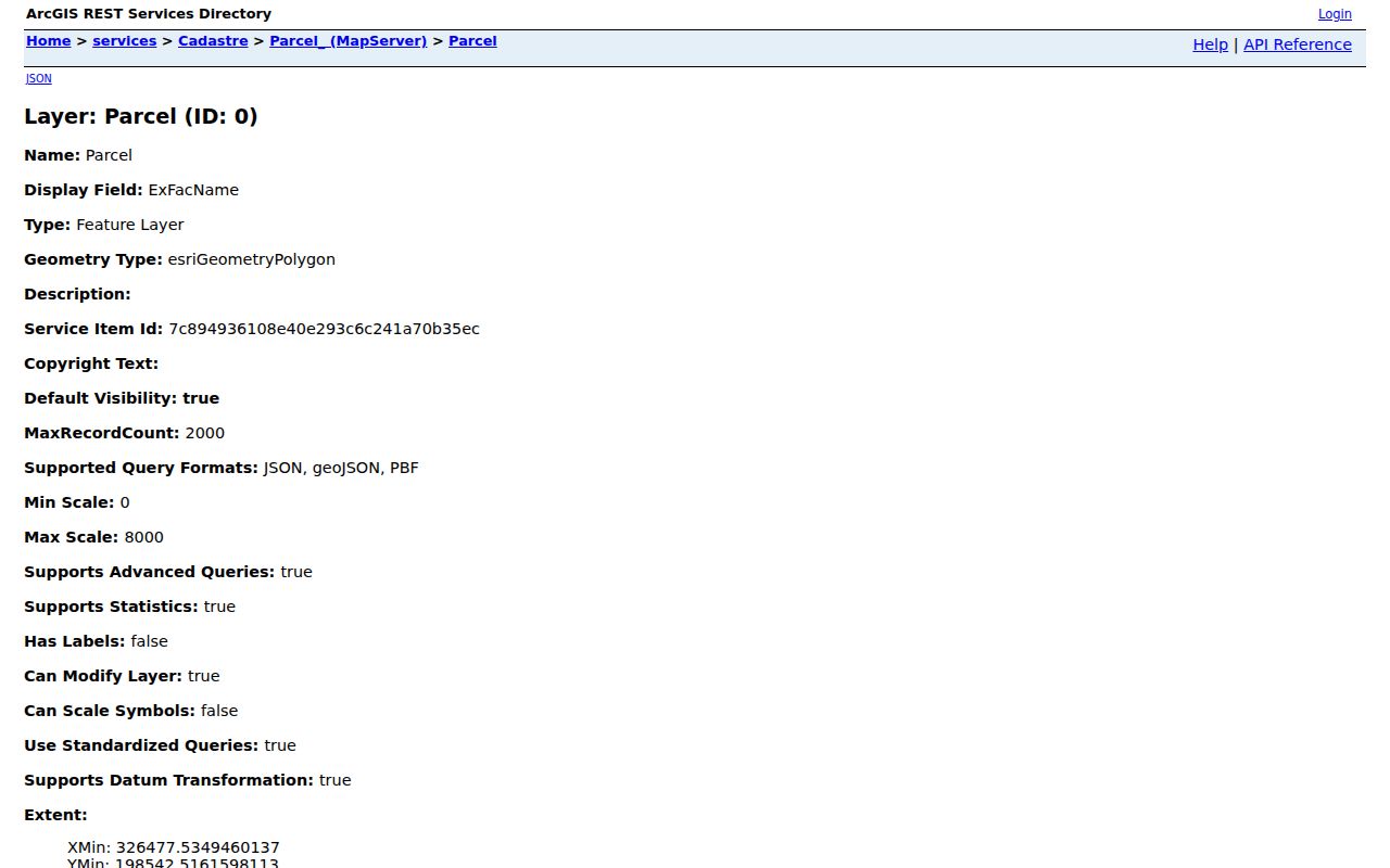
For a Vineland address note, retain only the fields that answer the question, such as ParcelAddr, block, lot, zoning, and a deed reference.
Vineland Street Directory Records by Address
Several Vineland records can be keyed to an address, but their scope is different. Assessment and GIS entries connect a parcel to the tax and map system. A deed establishes a recorded transaction. A permit marks a filing or construction event. Historical directories may place a household or business at a printed address for a particular year. Combining them carefully is more useful than asking one record to answer every question.
| Address-keyed source | Vineland or county keeper | What it can establish | Access route |
|---|---|---|---|
| Tax assessment | Vineland Tax Assessor | List owner, mailing address, situs, block/lot, values, class, exemptions | Assessor, annual state data, GIS, or an applicable records request |
| GIS parcel | City of Vineland GIS / NJGIN | Polygon, address, block/lot, ZIP, zoning, value and deed fields | Public viewer and ArcGIS service, with no legal-boundary use |
| Deed or mortgage index | Cumberland County Clerk | Grantor, grantee, type, recording date, book/page, and published images | Current or archive search, record room, or certified-copy request |
| Tax map or plat | County Clerk / city engineer | Blocks, lots, streets, dimensions, and map sheets | County tax-map PDFs and physical archive |
| Permit or code file | Vineland Licenses and Inspections | Address, owner or applicant field, permit, inspection type, and dates | Forms, department request, or OPRA request |
| Historic street section | Library and local-history collections | Historical occupants or businesses at an address | Microfilm, digitized copy, or reference request |
The New Jersey voter status tool can confirm a named person’s registration when that person is using the service or for lawful civic research. It does not provide a public “all voters on this street” screen. A current full-file procedure and privacy review would be needed before assuming a street-wide list is available.
The New Jersey voter-search form illustrates the named-registration route.
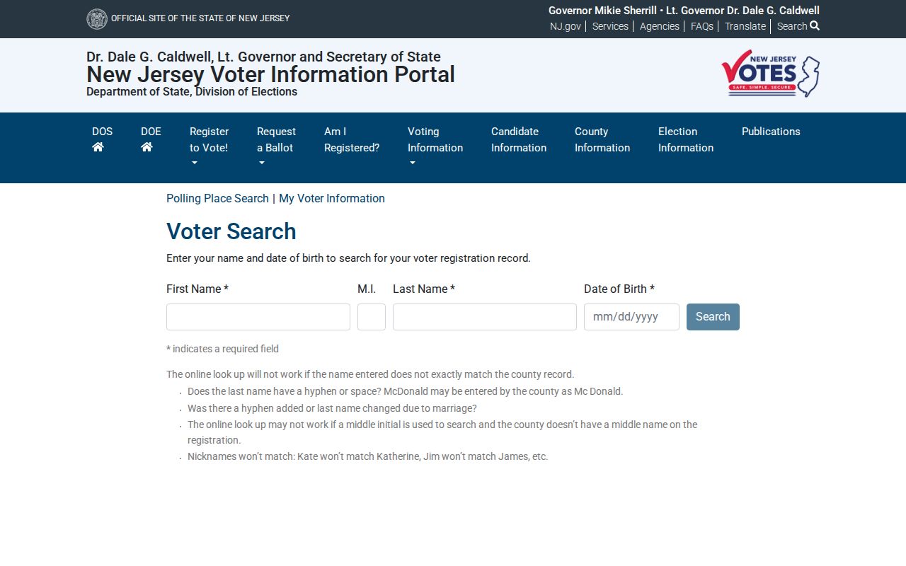
Use the exact county-supplied spelling, including meaningful hyphens, spaces, initials, or name changes, and do not treat a non-match as proof of an address.
Note: Ward and district maps supply civic geography, but neither they nor the personal voter tool create a public household roster.
Read a Vineland Street Deed Chain
Cumberland County’s public land-record landing page separates a 1987-to-current search from archive material before 1987. Its instructions separately say that deed and mortgage web data runs from January 1, 2002 forward. Those are different access signals, so record which one produced a result. The county describes the record vault as reaching from 1748 to the present, and says title searches must be done in person. The web index is useful for candidate documents, not a final title opinion.
Start with the current parcel and its latest deed. Copy the grantor, grantee, legal description, recording date, and book/page. Then search the seller as an earlier grantee to locate that person’s purchase. Older links may require the archive search, record room, deed books, microfilm, or a certified-copy request. Spelling variants, initials, married names, entity names, and “et al.” can matter in a historical index.
The current Cumberland deed-index interface is the source represented below.
Search results need a date and document check before they are tied to a Vineland parcel or a person on the street.
Define Vineland Street Identifiers
Old addresses are easier to follow when the three identifiers in a property file are not blended together. The street number may change, while the parcel identifier and recorded description carry the land trail across maps and deeds.
- Parcel
- A mapped unit of land recorded in Vineland tax and GIS systems, commonly located by municipality, block, lot, and qualifier.
- Situs address
- The physical location of the parcel or building. GIS and address searches normally key to this field.
- Plat or tax map
- A map showing the relationship of blocks, lots, streets, and dimensions. It helps reconcile a deed description with a modern map.
- Criss-cross directory
- A directory arranged by street address rather than only by name. It is a dated historical source, not a current household list.
Legal descriptions may include block, lot, qualifier, subdivision language, or metes-and-bounds wording. They are often more stable than a street number when an address changes.
Vineland Street Numbers and Names
Vineland’s 1966 uniform-numbering ordinance is a useful address-search quirk. Landis Avenue is the north-south baseline and Railroad Boulevard is the east-west baseline. Numbers change by hundreds at grid lines, with one number per 10.56 feet of frontage. North-south streets use odd numbers on the east side and even numbers on the west, while east-west streets use odd numbers on the south and even numbers on the north. A central-area exception means an older sequence can be valid even when it looks inconsistent with the outer grid.
Street names need their own check. One Magnolia Road segment was changed to New Magnolia Road in 2020 after duplicate names caused delivery confusion. Search both forms in older deeds, directories, permits, and maps. Records before Vineland’s 1952 formation may also use Vineland Borough or Landis Township, so retain the printed jurisdiction and directional prefix instead of silently modernizing it.
Note: The uniform numbering ordinance and a tax map should be checked before correcting an older Vineland address.
Use Vineland Street Permit Clues
Licenses and Inspections supplies a dating layer between the map and the deed. Its permit-inspection form can identify a project address, property owner, requester type, contractor, subcode, inspection type, access-code location, received date, and scheduled date. Vacant or foreclosure registration material can add an address, block/lot, owner mailing address, creditor, responsible party, and local contact. Each is evidence of a filing or work event, not a list of people who occupied the property.
When no public permit search is offered, request a defined record rather than a broad collection of files. Give the property address, block/lot, permit number if known, date range, department, and exact record type. The Vineland Municipal Clerk is the city’s OPRA-facing records office, and a targeted request is less likely to need clarification.
Compare Vineland Street Record Routes
The same Cumberland deed question has four distinct routes. The current web index is a quick lead for recent documents. Archive search handles material before 1987. The record room supports in-person review, especially for title work. The county also offers a one-name archive research request when a researcher cannot visit. Each route has a different purpose and should be labeled honestly in a street directory research note.
| Route | Best use and limit |
|---|---|
| Current web search | Find recent candidate deeds; the public landing page labels it 1987 to current, while instructions describe deed and mortgage web data from 2002 forward. |
| Archive search | Use for land material before 1987, then verify the document in the Clerk’s records system. |
| Record room | Inspect the authoritative chain in person; the Clerk says title searches belong there. |
| One-name archive request | The archive request form costs $50 in advance, covers one name, includes up to five printed copies, and may take a few weeks. |
That comparison matters because the online cutoff is not the beginning of Cumberland land records. The county’s own history of the vault reaches much further back.
Note: Mark the route used for each document so a current-index gap is not confused with a missing Cumberland record.
Find Past Vineland Street Addresses
For an older Vineland address question, search the street section first and then confirm the matching alphabetical entry. The strongest concrete Vineland-specific microfilm run is 1921, 1924–25, and 1929–30 under call number MF DI 0090. Countywide material provides another bridge for 1905–06 and 1909–10, while earlier Cumberland directories reach back to 1869–70. A directory shows a publisher’s dated snapshot and must not be turned into a present-day claim.
The Vineland City Directory collections provide the shelf and year details. Search New Magnolia Road and its earlier name where relevant, pair a directory with the closest public census, and use a map to check whether the address form actually describes the same parcel.
Limits of a Vineland Street Directory
Public parcel and deed records do not identify every non-owner household member, visitor, utility customer, delivery recipient, or mail recipient on a Vineland street. They also do not open motor-vehicle address data, which is restricted by the Driver’s Privacy Protection Act. A trust or entity can hold a parcel, and protected people may have redacted owner fields or a substitute address. A blank field should never be filled by guesswork or by trying to reconstruct protected information.
Lawful use. Vineland address records are for personal, lawful research such as family history, estate work, civic questions, or checking a parcel trail. Do not use any record to stalk, harass, threaten, or locate a protected person.
New Jersey’s address protections include the Address Confidentiality Program and Daniel’s Law redactions. Respect the custodian’s limits and verify an important property record with the office that holds it.