
Vineland Previous Residents by Era
A backward address trail uses the source that fits the time period. The deed trail answers who transferred the parcel. A directory can place a name or business at a printed address in a particular year. Census schedules offer a household snapshot, while maps show whether a building and its street form were in place. Cumberland’s search layers have important cutoffs, so a web result is only one part of the Vineland previous residents record trail.
| Source | Years it covers | Where held | What it shows |
|---|---|---|---|
| Cumberland current land index | 1987 to current on the landing page; instructions describe deed and mortgage web data from 2002 forward | Cumberland County Clerk current search | Candidate recorded transfers and party names |
| Cumberland archive land search | Before 1987 | County Clerk archive route | Older land-index path, subject to document verification |
| Clerk record room | 1748 to present, as described by the county | Cumberland County Clerk | In-person land-record review and authoritative title research |
| Vineland directory microfilm | 1921, 1924–25, and 1929–30 | Morris Township Library, MF DI 0090 | Dated city address and household or business leads |
| Federal census | 1790 onward; public images through 1950 at the research date | National Archives and library resources | Household snapshot nearest the directory year |
| Vineland Sanborn maps | 1886, 1891, 1895, 1900, 1906, 1912, and 1919 | Library of Congress and VHAS links | Building, street-number, and structure continuity, not occupants |
For a recent transfer, begin with the land index and the present parcel record. For a much older question, switch sooner to the archive, record room, maps, and library holdings. A source that does not cover the target year should not be stretched to fill the gap.
Note: The date range on an index controls which address era it can support, even when a name appears in a later source.
Start a Vineland Past Residents Trail
Capture the Vineland block and lot before following a surname backward. The city GIS parcel layer can expose municipality, block, lot, qualifier, parcel address, street, ZIP, owner, deed book/page, sale price, year constructed, values, and zoning when available. The ArcGIS parcel schema is useful for keeping those fields in a consistent note. The parcel polygon itself is not a survey or a legal ownership boundary.
The situs address identifies the physical location. A tax mailing address identifies where assessment correspondence goes and may be different. The deed’s legal description holds the land language that survives a changed street number. Record all three before deciding that older records refer to the same place. If an owner field is redacted through Daniel’s Law, treat the blank as a privacy safeguard, not an invitation to reconstruct it.
Use the Vineland GIS maps, the Cumberland tax maps, and the assessor when the web entry is unclear or older than the map data.
Note: Parcel geometry is useful for locating a record, but it does not replace the legal boundary or the recorded deed description.
Trace Vineland Past Deed Transfers
The Cumberland County Clerk provides distinct current and archive land-record routes. Begin with the present owner or latest known deed reference, then move backward one transfer at a time. The county says its web index is informational and that title searches must be done in person. A document found online should therefore lead to a record-room inspection or a certified-copy request when the chain matters.
- Use the Vineland assessor, GIS parcel, and tax map to record the present block, lot, qualifier, situs address, legal description if available, and deed book/page.
- Find the latest purchase deed through the Cumberland County public land-record page. Copy its grantor, grantee, recording date, and the land description.
- Search the seller as a prior grantee. That earlier purchase is the next step back in the parcel’s ownership trail.
- Repeat the party change, testing spelling variants, initials, married names, entity names, and “et al.” where the index warrants it.
- When the web layer ends, use the archive search, record room, deed books, microfilm, or a certified-copy request. Do not call the chain complete merely because an online result stops.
- Grantor
- The party transferring an interest in a recorded deed. In a prior-owner search, the grantor is usually the seller on that transfer.
- Grantee
- The party receiving the interest. Searching a later grantor as an earlier grantee is the usual backward step.
- Chain of title
- The sequence of recorded transfers for a parcel. It is about ownership history, not a complete list of residents.
- Legal description
- The land identification in a deed, often using block, lot, qualifier, subdivision, or metes-and-bounds language. It is more stable than a street number.
The current Cumberland deed-index screen is represented in the capture below.
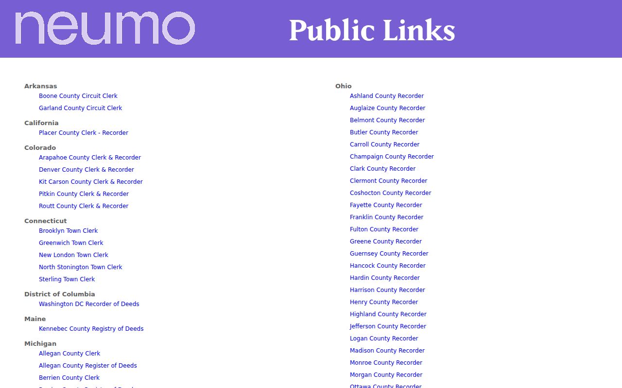
The search screen is a lead to a recorded document. Match its dates and parties against the parcel identifiers before using it in an address history.
Compare Vineland Past Residents Routes
Cumberland’s land trail is not one seamless online database. The county’s current link says 1987 to current, its instructions identify deed and mortgage web data from 2002 forward, and the archive link is for material before 1987. The record vault is described as reaching to 1748. Reporting all four layers avoids a misleading “no record” conclusion when a particular interface returns nothing.
| Access path | Use for a backward Vineland address trail |
|---|---|
| Current web index | Quickly identify recent deed or mortgage candidates, then inspect the record details and dates. |
| Archive search | Reach material before 1987 that the current route does not cover. |
| Clerk record room | Review the land record in person, especially because the Clerk directs title searching to the office. |
| One-name archive request | The county form is a $50 non-refundable, one-name service that includes indicated-source research, postage, up to five printed copies, and a certified no-record letter when applicable. |
The archive search interface itself is documented by this Cumberland archive-index capture source.
For a remote request, provide the one name and the precise type of record sought. The form’s narrow scope is useful when a broader house-history question needs to be broken into dated parts.
Vineland Past Residents Address Quirks
Address continuity is a major Vineland house-history issue. The 1966 uniform-numbering system sets Landis Avenue as the north-south baseline and Railroad Boulevard as the east-west baseline. It changes by hundreds at grid lines and assigns one number per 10.56 feet of frontage, with a central-area exception. A seemingly odd older sequence may therefore be valid. Preserve the direction, street type, cross streets, and printed number before trying a modern form.
A second quirk is the 2020 change from one duplicate Magnolia Road segment to New Magnolia Road after delivery confusion. Search both names in deeds, directories, and maps. Vineland was formed in 1952 from Vineland Borough and Landis Township, so older sources may use either jurisdiction. Those label changes can hide a prior household if the exact printed form is discarded.
Note: Check the Vineland numbering ordinance and a tax map before treating an older address as a transcription error.
Pair Vineland Past Residents With Census
A deed names parties to a transaction, but the household layer calls for directories and census schedules. Begin with an alphabetical directory entry, copy the printed name, spouse notation, occupation, and street address, then look for the reverse or street section. Compare the nearest available directory year rather than assuming a continuous run. Concrete Vineland-specific microfilm dates are 1921, 1924–25, and 1929–30; countywide material is available for 1905–06 and 1909–10.
- Write the address exactly as the directory prints it, including direction and street type.
- Check the address or criss-cross section, then compare the alphabetical entry for the same name.
- Pair that volume with the closest public federal census year. Census images are public through 1950 at the research date, but a census date and a directory date are separate snapshots.
- Use the 1952 jurisdiction change, 1966 numbering ordinance, and tax maps to test whether two address forms could describe the same parcel.
- Confirm a person or relationship with a dated government, probate, vital, or newspaper source when the question requires it.
The historical volumes are described in the Vineland City Directory collections. They are particularly useful for a household clue, while this trail remains focused on one address over time.
Use Vineland Maps for Past Residents
Sanborn maps help answer whether a structure, street number, building footprint, or use existed at a given time. They do not identify the people inside. The documented Vineland set includes 1886, 1891, 1895, 1900, 1906, 1912, and 1919. The Library of Congress provides a public-domain six-sheet August 1891 Vineland item, while the local historical society gathers links and local-history resources.
When a directory address appears to shift, compare the closest map year and the legal description or tax map. The Vineland Historical and Antiquarian Society resources include genealogy-help intake, digitized books, historic maps, and Sanborn links.

Ask for a surname, street, farm, business, church, or approximate year rather than a request for all people at an address. That makes a local-history inquiry both narrower and more likely to match a collection.
Note: A Sanborn sheet can confirm a structure and street form, but it cannot name the people who occupied it.
Close Vineland Previous Residents Trails
When a past Vineland resident dies or leaves the property trail, an obituary, cemetery record, or probate file can offer a dated next step. Vineland Public Library has digitized selections of the Vineland Daily Journal, and regional microfilm gives a longer newspaper context. Obituaries can report relatives, a former address, cemetery, and other details, but they are secondary reports that should be checked against a vital, probate, cemetery, or contemporary newspaper record.
The Cumberland County Surrogate handles probate, wills, estates, guardianships, and adoption filings. Its Vineland satellite is appointment-based, with paperwork drop-off described in the 2026 county release. Estate records may connect a decedent, executor, heirs, and property reference, subject to office procedures and restrictions. Do not publish sensitive fields from a probate information sheet.
Limits on Vineland Previous Residents
Previous residents research can establish a dated connection to a parcel or printed address. It cannot establish every person who lived there, an exact move date, a current location, or the reason someone left. A tax mailing address is not occupancy proof. A directory, census, deed, permit, and obituary each reflect different events and dates. Protected addresses, restricted vital records, motor-vehicle records, utility data, and private accounts remain outside an ordinary public address search.
Lawful use. Use Vineland house-history records for family history, estate questions, local history, or personal research. Do not use past-resident information to stalk, harass, threaten, or track a living person.
New Jersey’s Address Confidentiality Program and Daniel’s Law protect qualifying addresses. Respect redactions and verify each important finding with the original custodian.