
Records Behind Vineland Neighbors
Public sources describe land, civic geography, and historical context around a Vineland address. They do not produce a complete list of people who live nearby. The GIS layer identifies a parcel and may show owner, deed, value, ZIP, zoning, and block-and-lot fields. Tax maps make the sheet and parcel pattern legible. Ward and district materials locate a block in the election system, while the individual voter tool remains a named status check. A historic directory can offer an earlier address clue. Each source has to keep its own date and limitation.
| Source | What It Shows About a Block | Access |
|---|---|---|
| Vineland GIS parcel layer | Parcel geometry, address, block/lot, ZIP, zoning, and visible deed or value fields | Public map and ArcGIS service; owner redactions may apply |
| Cumberland tax maps | Sheet, block/lot arrangement, and street relationship | PDF tax maps and county or tax-office channels |
| Ward and district map | Civic boundary and polling geography | City election page and published map |
| New Jersey voter lookup | Named person’s registration status, not a block roster | Individual lookup; full-file procedure was not confirmed |
| Historical directory street section | Earlier address occupants or businesses | Library, VHAS, microfilm, or digitized copy |
| Community pages | Public organization contacts and historical leads | Organization resources; no universal member list |
A property owner, a current resident, and a person in an old street directory can be three different people. For that reason, a neighbor lookup should label the record type rather than suggest that a parcel result names everyone at the address.
Vineland Parcel Edges and Neighbors
The City of Vineland Public GIS Viewer is the practical start for a block question. Zoom to the subject polygon, identify its ParcelAddr, BLOCK, LOT, QUAL, ZIP, zoning, and deed fields, then click polygons that touch it or stand immediately across the street. The ArcGIS service supports geometry and distance queries, but its public map interface was not fully captured. A distance result means nearby, not legally adjacent. Use a tax map when a thin parcel is hard to select.
The official parcel-layer schema documents fields including address, owner, deed book/page, sale price, construction year, values, exemptions, ZIP, alternate block/lot, and zoning. Compare its owner or deed data with the county’s latest recorded document before reporting a change. NJGIN cautions that parcel polygons are not survey data or legal ownership boundaries.
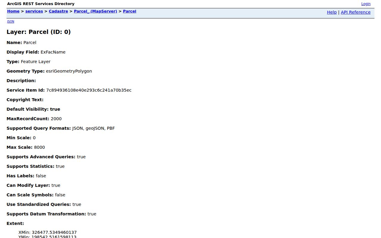
These fields turn a typed address into a documented parcel trail, but the layer should be read as mapping and assessment information, not as a private household list.
Mapping a Vineland Block by Parcel
A careful block review begins with one verified parcel and expands only as far as the stated question requires. Keep a simple research note for each polygon. Record the source date and preserve the difference between a physical address, a tax mailing address, and a legal description. The legal description uses block, lot, qualifier, subdivision language, or deed wording and remains more stable when an address changes.
- Enter the street address in the city GIS viewer, then record the subject parcel’s address, block, lot, qualifier, and ZIP.
- Click each parcel sharing a boundary and each parcel immediately across the street, preserving only the visible public fields needed for the question.
- Compare the displayed deed book/page or owner field with the latest Cumberland County Clerk index entry when ownership timing matters.
- Use a tax-map sheet for the parcel layout, and mark a spatial-buffer result as nearby rather than as legal adjacency.
For a full named-street chain, use the Vineland streets directory. That broader address workflow follows the deed chain and historical street records rather than stopping at the immediate block.
Vineland Ward Lines for Neighbors
Vineland’s six wards and multiple districts add a civic layer to a block, not a roster of nearby people. The published map and polling information can show a ward or district and the related polling place. The city’s polling-locations page is the source for that geography. Its map date matters, because a 2018 district PDF may not reflect every current polling adjustment.
The official voter portal checks a named person’s own registration status and requires the county-supplied spelling. It is not a public browse screen for everyone on a street. OPRA recognizes defined voter lists subject to election-law, protected-person, and privacy limits, but the current Cumberland County full-file form, price, format, and field redactions were not located in the official material. Ask the election office for the present procedure instead of assuming a file can be downloaded.
The city polling-district reference shows how district and facility information is organized for Vineland.
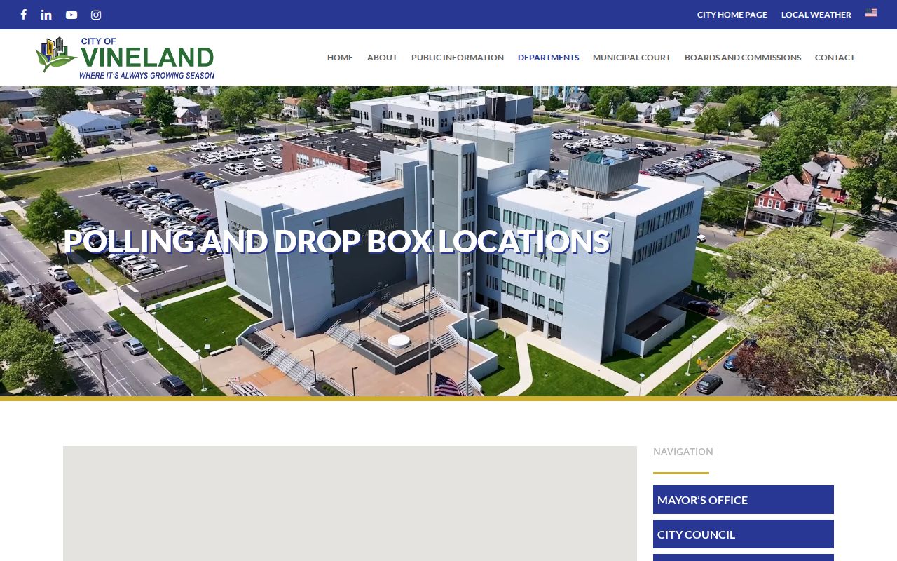
A polling district can place an address in civic geography. It cannot tell who lives in every dwelling or how any person voted.
Note: An inactive voter may reflect address-maintenance procedures and should not be treated as a statement about a person’s current location.
Vineland Community Leads for Neighbors
Local organizations can add public context to a Vineland block, especially when a historical question involves a church, civic group, map, newsletter, or event. They are association leads, not membership rosters. The research found no authoritative citywide neighborhood-association directory. Ask an organization or public archive whether newsletters, anniversary books, minutes, or other historical papers were deposited, and describe any resulting name-to-place connection as a dated association clue rather than proof of a current address.
Vineland Historical and Antiquarian Society
Its public resources and genealogy-help route support street, surname, house-history, atlas, and neighborhood-history leads. No member roster was located.
Cumberland County organizations
The county-linked directory identifies civic, youth, cultural, and service contacts but does not publish a complete membership list.
Greater Vineland Chamber
Its alphabetical and category listings can identify a public business or community contact, not an official ownership record.
The Vineland Historical and Antiquarian Society resources are especially useful for historic atlases, digitized books, Sanborn links, and a focused genealogy request. A surname plus street, school, church, or approximate year is more likely to be useful than an open-ended request for everyone near an address.
Vineland Neighbor Sources Compared
Official and commercial neighbor tools answer different questions. Official parcels and deeds identify a dated land record. Civic maps locate a ward or polling district. A commercial category may combine many sources and infer a relationship, but it can merge people with the same name, repeat an old address, or omit protected records. Use a commercial result only as a lead, then test it against the specific official custodian record needed.
| Source category | Best use | Limit |
|---|---|---|
| Official parcel, tax map, or deed | Parcel identity and dated land-record facts | Does not list every person at an address |
| Ward or district material | Civic geography and polling context | Not a voter or neighbor list |
| Commercial neighbor category | Possible lead to test independently | Can be stale, inferred, incomplete, or wrong |
That comparison keeps a block question narrow. A parcel is a defined unit of land. A census or directory is a dated snapshot. Neither can be stretched into a claim about every neighbor today.
New Magnolia Road’s Vineland Block Trap
Street names can make a block search look simpler than it is. Vineland created one Magnolia Road in 1932 between South Seventh and South East Avenue while another Magnolia Road already existed between Lincoln Avenue and Main Road. The city changed the former section to New Magnolia Road in 2020 after duplicate names caused delivery confusion. Search both names in older maps, directories, permits, and deeds before deciding that an earlier result belongs to another block.
The same care applies to older jurisdiction labels. Vineland was formed from Vineland Borough and Landis Township in 1952, so an earlier address record may be filed under either name. This local quirk is a reason to preserve the printed address and jurisdiction beside the modern normalized form.
Vineland Parcel Updates for Neighbors
A current-looking map can still contain data from a different update cycle than a tax-list PDF or recorded deed. NJGIN reported Cumberland County data in its April 2026 parcel update and announced further statewide parcel-service work for August 2026. The agency also says owner-name redaction continues for Daniel’s Law protections. Save the date a Vineland parcel layer was checked, then compare the visible deed book/page with the County Clerk’s index if the name or transfer timing matters.
The NJGIN parcel update notice is a useful source for the layer’s changing data context. A newer geometry does not automatically make every owner, value, or deed field the newest available record.
Privacy Limits for Vineland Neighbors
Public parcel data does not identify all occupants, household members, visitors, utility customers, delivery recipients, or protected residents. A listed owner can use a mailing address outside Vineland. Daniel’s Law can redact covered people from state, county, and municipal systems, and the Address Confidentiality Program provides an eligible participant with a substitute address. A redacted field is a privacy protection, not missing information to reconstruct.
New Jersey’s Open Public Records Act provides a route for identifiable government records, not an instruction to bypass a redaction, CAPTCHA, account control, or custodian limit. For an inaccurate public record, seek correction from the office that maintains it. Do not post private phone numbers, e-mail addresses, or unlisted information obtained from a block search.
Lawful use. Vineland neighbor information is for personal, lawful research and civic context. Do not use it to watch, threaten, stalk, harass, or harm any person.